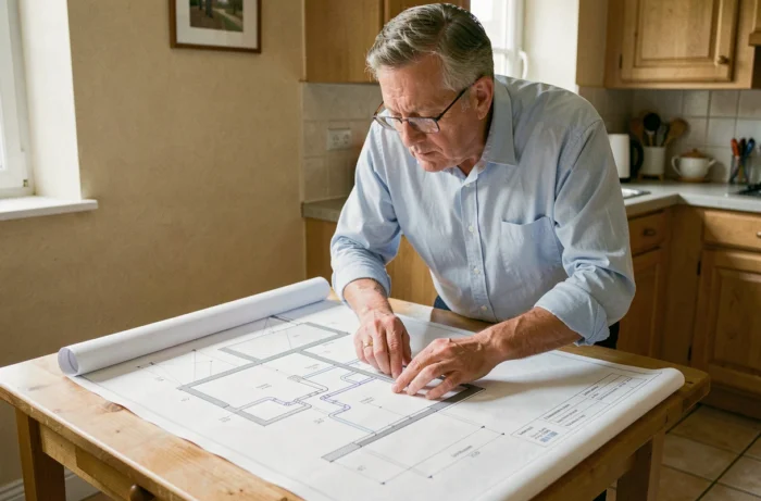
The drainage plans of a house refer to the graphic documents that outline the paths of drinking water, wastewater, stormwater, and sometimes gas pipes inside and around a building. Obtaining these plans before digging or renovating prevents costly damage and project delays. The issue is that depending on the nature of the network (public or private), the documents are not located in the same place, and some simply do not exist in digital form.
Public networks and private networks: a distinction that changes everything
Before looking for a plan, it is essential to understand what the regulations consider a public network and a private network. Public networks (water, gas, electricity, telecommunications, collective sanitation) are registered with the national single window. Their layouts are accessible through a work project declaration.
Private networks, on the other hand, refer to the pipelines operated by the owner within their fenced perimeter. These pipes are not listed at the single window. No public database catalogs them. To locate them, one must find the original construction plans or involve a professional on-site.
This distinction has a direct consequence: even after consulting all official sources, part of the network on your property will remain untraceable without a physical survey. Finding reliable information on drainage plans on La Bonne Maison helps better understand the steps to take based on your situation.

Single window and DT-DICT declaration: the procedure for buried networks
The “Networks and Pipelines” tele-service, managed by INERIS, centralizes the cartographic data of network operators in France. Anyone planning work involving mechanical tools in the ground must go through this portal to declare their project.
The procedure relies on two complementary forms:
- The work project declaration (DT), to be filled out by the project owner, which queries the operators about the presence of networks in the concerned area.
- The intention to commence work declaration (DICT), to be filled out by the executor, which confirms the consideration of the responses received before the start of the project.
- When an individual digs themselves (trench for a hedge, automatic watering, pool), they combine both roles and must therefore submit both declarations.
In response, each concerned operator sends the plans of their networks within a radius around the declared area. These plans show the approximate layout of public pipes under your property or at the property line.
Limits of the data transmitted by operators
The plans received via the DT-DICT indicate a theoretical position, not a centimeter-accurate survey. The precision class varies depending on the age of the network and the mapping method used. For older networks, the positioning uncertainty can reach several meters.
When the precision is insufficient, regulations provide for complementary investigations at the project owner’s expense: ground-penetrating radar, electromagnetic detection, or physical probing. These operations allow for moving from an indicative layout to a reliable identification before digging.
Construction plans and cadastral archives: where to search first
Before any administrative steps, the simplest reflex is to check what you already possess. Three sources deserve exploration.
The initial construction file (building permit, architect’s plans, plumbing lot plans) normally contains the layout of the interior pipes and connections to the public network. If you purchased the property, these documents may be included in the notarial deed or have been provided by the seller.
The town hall keeps the building permit files submitted in its territory. By visiting the urban planning department, you can consult the plans submitted during construction, including the connection diagrams to the sewer system.
The sanitation service of your municipality or intermunicipality has the plans of the collective network. They can indicate the connection point of your property and the layout of the main pipes in your street. Since the sanitation diagnosis became mandatory for real estate sales, these services are more frequently consulted, and the data is better maintained.
Physical detection on-site: when plans are missing or outdated
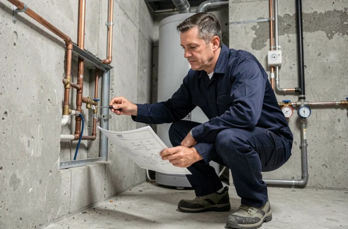
The original plans of a house built several decades ago may be unavailable, incomplete, or simply incorrect (modifications made without updates). In this case, only an on-site survey can reconstruct the actual layout.
Common detection techniques
Ground-penetrating radar sends electromagnetic waves into the ground and analyzes the signals reflected by pipes, ducts, and cavities. This technique works on most materials (PVC, cast iron, concrete) and does not require contact with the network.
Electromagnetic detection, on the other hand, locates metallic pipes or ducts containing a tracer cable. It is more precise than ground-penetrating radar for conductive networks but ineffective on untraced PVC.
Camera inspection involves inserting a video probe into an existing pipe (via a manhole or access point on the facade). It allows for visualizing the internal condition of the pipes, identifying hidden connections, and locating the probe on the surface using an integrated transmitter.
Who to contact for a survey
Surveyors and companies specializing in network detection carry out these interventions. The deliverable is a georeferenced plan that can then be kept and transferred during a resale. Having this survey conducted before work costs much less than a repair after a network is punctured.
Some older houses have combined networks (wastewater and stormwater mixed in the same pipe), ducts waiting for documentation, or abandoned pipes still in place. An on-site survey highlights these situations that official plans, even recent ones, do not show.
The most reliable approach therefore combines consultation of archives, DT-DICT declaration for public networks, and physical detection for private networks. None of these steps is sufficient alone, but together they provide a complete mapping of what lies beneath your property.